

The U.S. Geological Survey has begun a program to map underground rocks that could potentially have rare earth minerals or water.
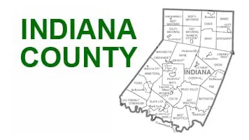
Low-flying aircraft carrying a magnetic sensor that resembles a torpedo will fly over 21 Pennsylvania counties, western Maryland, northwestern Virginia, and eastern West Virginia. In southwestern PA, they will fly over Indiana, Westmoreland, Fayette, and Somerset counties. The flights could go on for the rest of 2022, measuring and cataloguing radiation from underground rock formations, water sources, and areas that could be used for carbon storage.
The probe could be mounted on either airplanes or helicopters.




Comments